 Inklings Geography
The world, one map at a time.
Real maps on every page, and a guided globe tour before every worksheet.
Student screen timeanswered and graded on screen
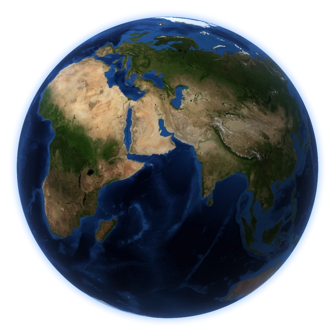
A guided globe tour.
Before each worksheet a globe turns to the right part of the world, and a narrator walks through what is coming.
Real maps on every page.
Drawn from Natural Earth’s world data: countries, states, rivers, ranges and seas.
Every country, state and capital.
208 topics, from compass directions to plate tectonics.
Geography worksheets your student answers on the screen and that grade themselves the moment they tap Submit, from maps and globes and the seven continents to every country, state and capital, the world's rivers, mountains, deserts and biomes.
You tick what your student already knows. Inklings Geography builds a worksheet from the next few topics in the course, every map real and to scale. Before each worksheet a globe opens on the screen, turns to the part of the world the worksheet is about, and a narrator walks your student through exactly what the worksheet will ask, and nothing else. Your student then picks answers from buttons, types distances, times and coordinates into boxes laid out like the answer, and taps Submit. The sheet is marked at once. Every mistake opens its full worked solution, then a fresh question like it to try, and the next worksheet takes account of everything: holding a topic back until it is solid, and slipping in the occasional refresher from something already mastered.
How it works
- Set up your student and, ideally, a parent PIN. The PIN keeps the answer key, settings, tests and the other parent controls for you.
- Mark what your student already knows, or leave it blank to start at maps and globes in Grade 2.
- Before each worksheet, a short guided tour of the globe goes over what is on it.
- Your student answers on the screen and taps Submit. Answers are kept as they go, so a worksheet can be finished later.
- The results come straight away: the score, what was earned, and a look over each mistake with its worked solution and one like it to try.
- The next worksheet is built from what that showed.
What is inside
- 208 topics across eleven levels: Grades 2 to 4, then one level for each continent (North America, Europe, South America, Africa, Australia and Oceania, Asia), then World Geography and Physical Geography. The course is taken topic by topic, a handful of places at a time.
- Real maps on every page, drawn from Natural Earth's world data: name the shaded country, state, river, lake, range or sea; name a country or state from its outline alone; capitals both ways; latitude and longitude; time zones; town maps with a key, a grid and a compass rose.
- A guided globe tour before each worksheet, keeping strictly to what the worksheet tests.
- An interactive 3D globe on the Help button, with maps of mountains, countries and capitals, states, rivers, oceans, lakes, islands, deserts, tundra and forests.
- A full worked solution for every problem, with the map redrawn and the answer named on it, and a how-to page for every topic.
- XP, stars, ranks, a daily streak and trophies that reward accuracy and persistence, never speed, presented to suit the student's age.
- A test at the end of each quarter of a level, and tests and worksheets you put together yourself.
- A progress dashboard for parents, with updates by text or email if you want them.
- Up to 30 students on one device, each with their own progress, worksheets and history.
What it needs
- An iPhone or iPad running iOS 17 or later.
- No internet connection. The maps, the globe and the tour's narration are all built in.
- A printer only if you want a worksheet on paper too. Any AirPrint printer works.
What it doesn't do
- No adverts, no analytics, no tracking, no accounts, no in-app purchases.
- No network connections of its own. Everything your student does stays on your device. The only thing that ever leaves the app is an update you choose to send.
Credits
- Maps made with Natural Earth, free vector and raster map data.
- The globe's picture of the Earth is NASA's Blue Marble (NASA Earth Observatory); its relief map is Natural Earth's shaded relief.
- Biomes from the RESOLVE Ecoregions 2017 map (Dinerstein et al., 2017), used under the Creative Commons Attribution 4.0 licence.