 Inklings PaperGeo
Geography on paper, maps included.
Printable map worksheets for every country, state and capital.
Zero student screen timeprinted, worked in pencil
Real maps on every page.
Drawn from Natural Earth’s world data: countries, states, rivers, ranges and seas.
Every country, state and capital.
202 topics across nine levels, from compass directions to contour maps.
Zero student screen time.
They work on a printed page with a pencil. Only you use the app, to print each sheet and grade it with a few taps.
Printable geography worksheets that adapt to your student, from maps and globes to every country, state and capital, the world's rivers, mountains, deserts and biomes.
You tick what your student already knows. Inklings PaperGeo builds a worksheet from the next few topics in the course, and you print it. They work on paper, away from a screen, with a pencil. Then you open the same worksheet on your device, tap the problems they got wrong, and the next worksheet takes account of it, holding a topic back until it is solid and slipping in the occasional refresher from something already learned.
How it works
- Optionally set a parent PIN. If you do, answers, grading and the answer key sit behind it; if you don't, nothing in the app ever asks for one.
- Mark what your student already knows, or leave it blank to start at maps and globes.
- Print the worksheet, or share it as a PDF.
- Grade by tapping the wrong problems on a copy of the printed page.
- The next worksheet is built from what that grading showed.
What is inside
- 202 topics across nine levels: Grades 2 to 8, then World Geography and Physical Geography. The course runs from compass directions and the seven continents, through the fifty states and their capitals, to every country in the world, its capital and its shape, and on to biomes, climate, plate tectonics and contour maps.
- Real maps on every page, drawn from Natural Earth's world data: name the shaded country, state, river, lake, mountain range, desert, island or sea, or the country with this outline. A place too small to see gets a circle round it.
- Record breakers: the river that carries the most water, the mountain range with the highest mountain, the deepest lake, the largest island.
- Map skills drawn fresh for every student: town maps with a key and a compass rose, grid squares, scale bars, latitude and longitude grids, time zones, climographs and contour maps.
- New places start with a short list of choices beside the question; as your student gets them right, the list goes away.
- A worked solution for every problem. While grading, tap a problem marked wrong and choose See Full Solution: the fact to remember comes first, then the reasoning, with the map redrawn and the answer and its neighbours named.
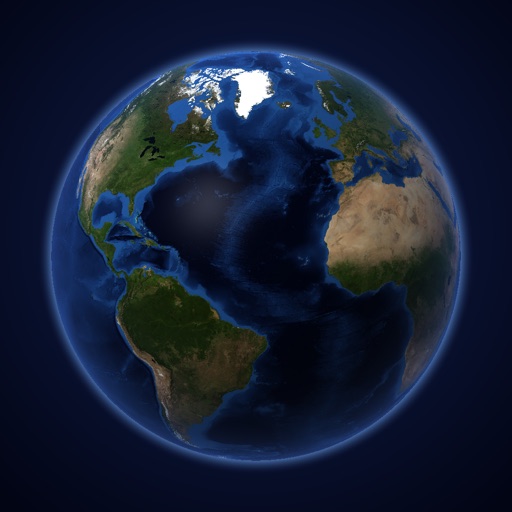
- The Help globe: tap the little Earth in the middle of the bar and a real globe opens, lit up with whatever the worksheet is about, whether the countries of West Africa, the rivers of Asia or the world's forests. Turn it with a finger, pinch to zoom, and tap any place to see its name.
- Ten map buttons under the globe turn the whole Earth into a different map: a relief map of the mountains, a map of countries and capitals, the 50 states and their capitals, the rivers, the oceans and seas, lakes, islands, deserts, the tundra, and the forests by type. Each names only what it shows.
- A test at the end of each quarter of a level, plus tests and worksheets you put together yourself.
- Up to 30 students on one device, each with their own progress, worksheets and history.
What it needs
- An iPhone or iPad running iOS 17 or later.
- A printer for the worksheets. Any AirPrint printer works. If you have no printer, you can share the worksheet as a PDF and print it elsewhere.
- No internet connection. Every map and the globe's pictures are part of the app.
What it doesn't do
- No adverts, no analytics, no tracking, no accounts, no in-app purchases.
- No network connections at all. Everything your student does stays on your device.
Credits
- Maps made with Natural Earth, free vector and raster map data.
- The globe's picture of the Earth is NASA's Blue Marble (NASA Earth Observatory); its relief map is Natural Earth's shaded relief.
- Biomes from the RESOLVE Ecoregions 2017 map (Dinerstein et al., 2017), used under the Creative Commons Attribution 4.0 licence.